
3D Capture & Commercial Photography
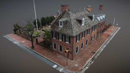
With over a decade of history as an aerial photographer, Terry Kilby was a pioneer in the burgeoning drone industry of the late 2000s and has built a speciality around several of the more advanced techniques. These include photogrammetry (3D scanning), panoramic photography (VR Photography) and time lapses. Much of his work is in the 3D space as he has consistently pushed the boundary of what photogrammetry scanning could accomplish by showing a higher level of capture detail than previously considered possible. He has been able to create photorealistic 3D models of everything from entire film sets to historic city blocks to small archaeological finds. He was also among the first in the country to merge the worlds of terrestrial lidar with aerial photogrammetry to capture the best of both worlds, accurate lidar geometry and lush photogrammetry textures & colors. His work has been shared by many through social media and reported on extensively by the media at large.
Industries Served
A few of the industries Terry Kilby works in as well as some of the content created for each.
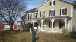
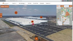
Aerial Mapping, 3D Photogrammetry, Virtual Tours, Visualizations
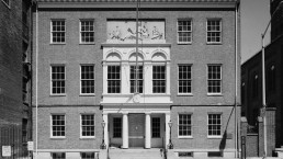
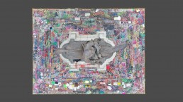
Virtual Exhibitions, 3D Photogrammetry, Object Photography
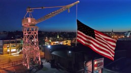
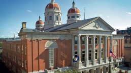
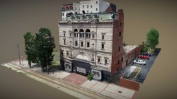
VR Site Recreations, 3D Photogrammetry, Aerial Mapping
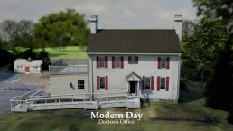
Raw video for TV shows and commercials


Need Help?
Terry has helped hundreds of businesses solve complex issues surrounding their aerial data. From aerial web applications that cover entire towns to motion tracked architectural CG renders, nothing is outside of the realm of possibility.