Photogrammetry
Photogrammetry is the science of making measurements from photographs.
The input to photogrammetry is photographs, and the output is typically a map, a drawing, a measurement, or a 3D model of some real-world object or scene. Many of the maps we use today are created with photogrammetry and photographs taken from aircraft.
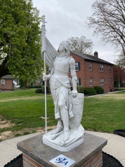
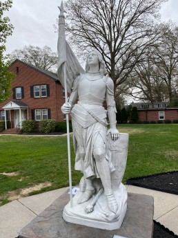
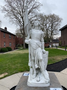
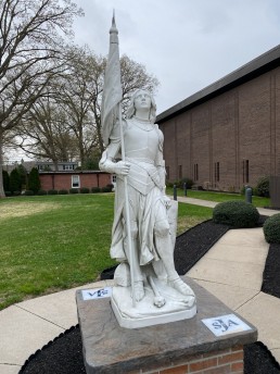
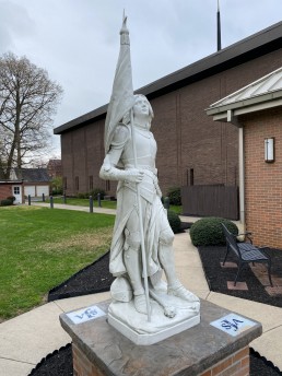
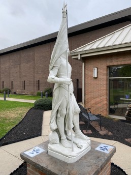
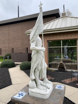
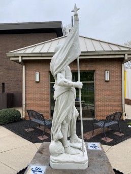
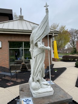
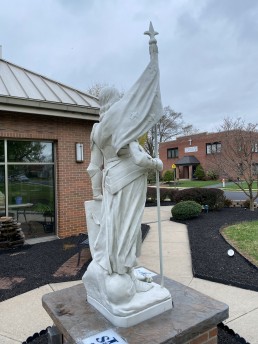
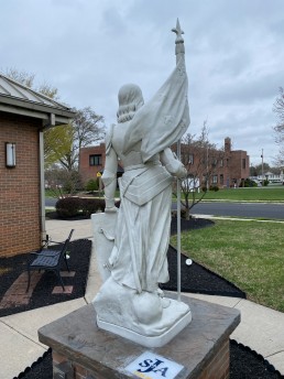
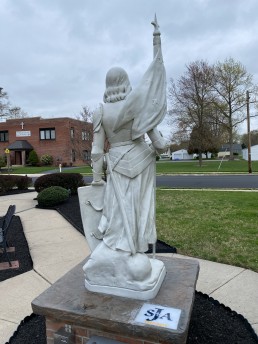
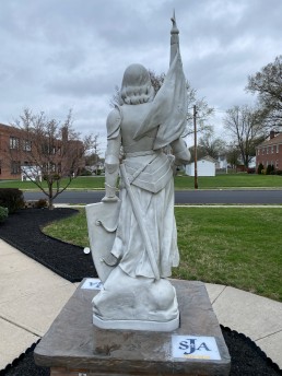
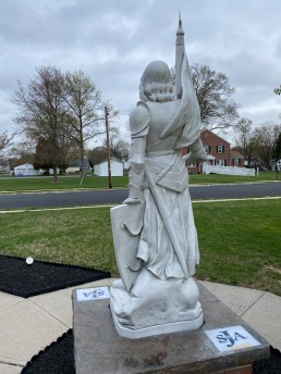
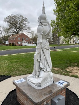
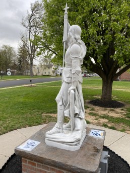
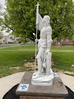
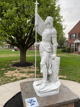
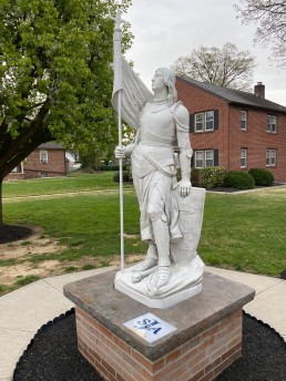
Below are a collection of photos taken of the Saint Joan statue located in front of the church. These images were captured with an iPhone and are a small representation of photogrammetry inputs. While this collection contains 20 images, many projects contain hundreds or even thousands of images.
Image Gallery
3D Model
Reconstruction
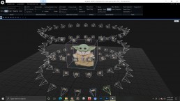
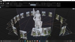
In the images below, you can see photogrammetry software taking the supplied inputs and creating a 3D model from the data. Each of the images has a high level of overlap from one to the next and this is important to allow the software to accurately create models and measurements.

